Test hike part 2
As always, I made sure to fill up on breakfast. I could never be certain when I'd get a proper meal again, so it was important to take advantage of it. My right calf, which had been bothering me the day before, hadn't improved overnight. It felt stiff, sore, red — and maybe even a bit swollen. I didn't like that one bit.
The night before, I'd looked online to see what it might be and what I should do. One suggestion was to take an easier hike, ideally with as little uphill as possible. That part was easy to manage, since the plan for the day was to walk to Raufoss, and the route there was either downhill or flat.
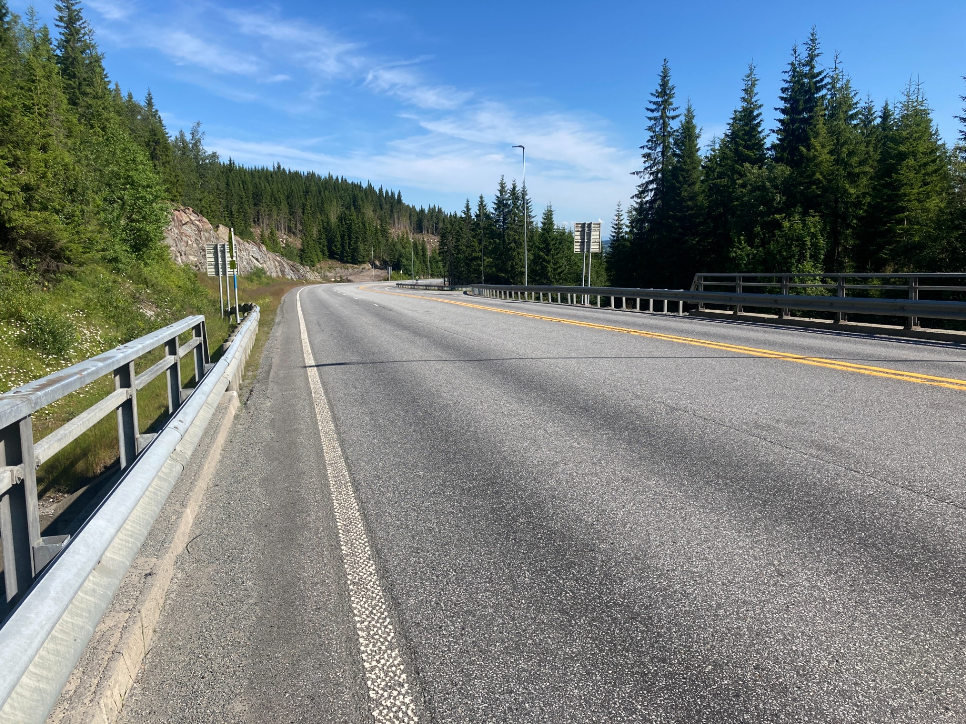
I had to walk a few kilometers along Route 4, where not even a centimeter had been reserved for cyclists or pedestrians — but walking there was still legal.

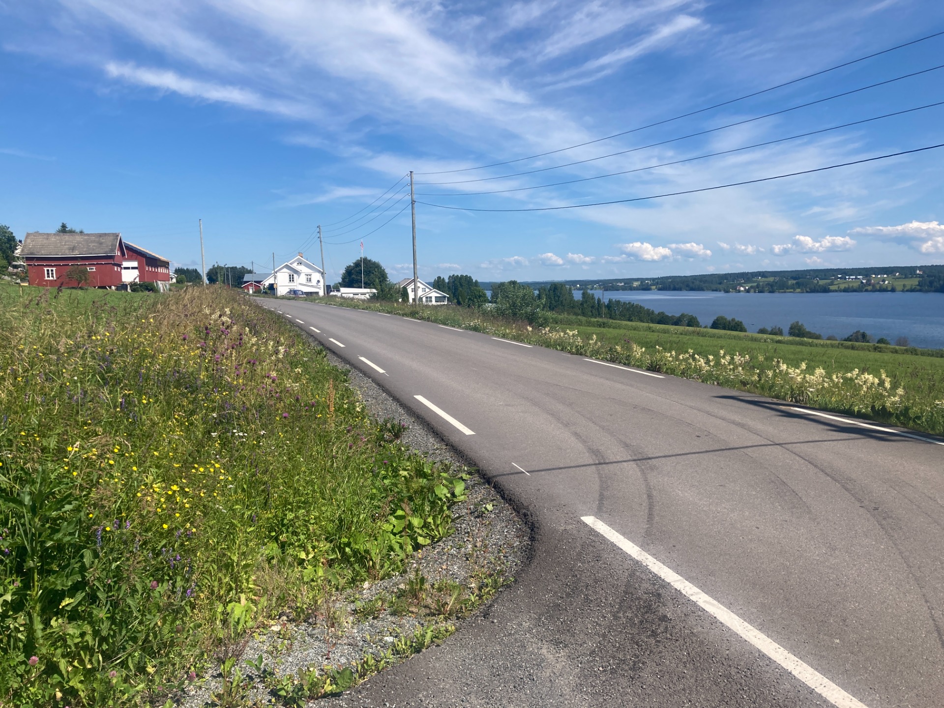
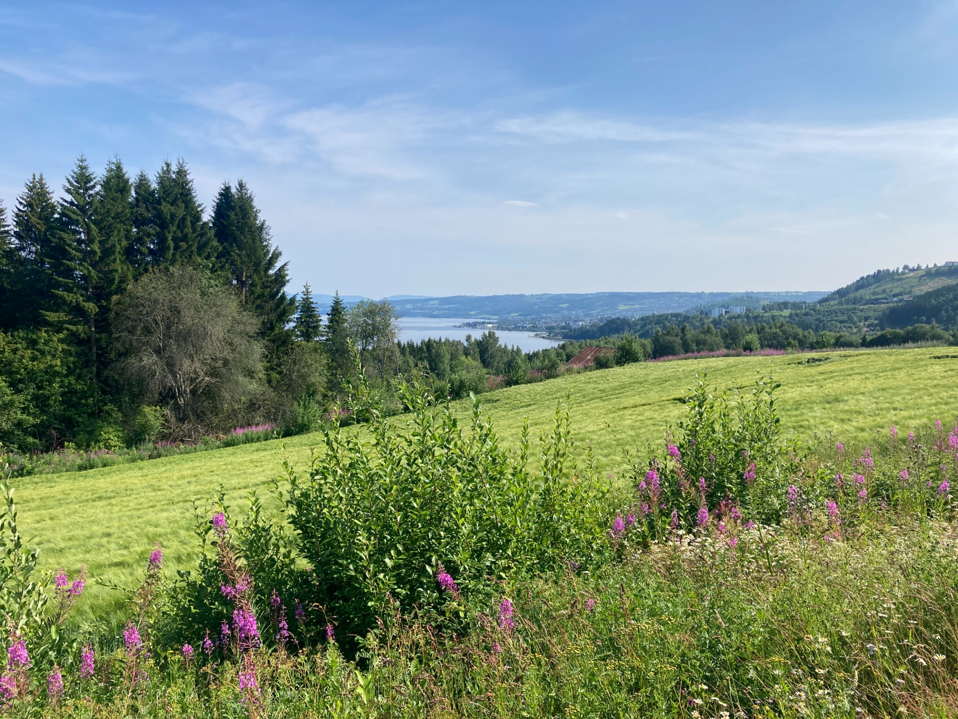
After an hour and a half, I turned off Route 4 and continued along the west side of Lake Einafjorden. If the start of today's hike had been unpleasant, things turned around instantly. The road there — mostly called Einastranda — was almost completely free of cars and an absolute dream to walk. Beautiful scenery, charming houses and farms, flat and easy terrain, and views of Einafjorden nearly the whole time. The roadside looked like the prettiest flower bed in places, and at one spot, a little hare was lounging peacefully.

I took a lunch break in Eina, and then had to walk a short stretch along Route 4 again. Pretty soon, though, a nice walking and cycling path appeared, and I was able to follow it all the way to Raufoss.
Along the way, I had to stop to tape up some forming blisters on my feet. That was a fairly unfamiliar issue for me until now, but I guess the heat and all those kilometers eventually caught up with me. Luckily, I had what I needed in my pack.
When I reached Raufoss, I stopped by the pharmacy and bought some ointment to rub on my sore right calf.
A total of 29.6 kilometers was covered that day.
From Raufoss, I continued through Gjøvik and on to Biri. The journey took a long time — but only because I enjoyed some lovely coffee breaks with friends in both Raufoss and Gjøvik, the town where I was born.

By the afternoon, the temperature had climbed past 30 degrees, so even with several breaks along the way, it turned into a tiring day. The route was mostly downhill or flat, but entirely asphalt. My right calf was starting to get seriously troublesome, and toward the end of the day I had to take quite a few extra breaks because of the pain.
There had also been a mix-up with the reservation at the place I was meant to stay, so it had to be changed late in the evening. That shortened the hike by 2 kilometers — but added an extra 100 meters of elevation. I felt every step of that!
It took the whole day to cover those 28 kilometers.
From there, I followed Lake Mjøsa further north toward Lillehammer. Thankfully, I rarely had to walk right alongside the main highway, the E6. I was able to stick to much quieter roads that ran nearby. The downside was that there were no shops, kiosks, or petrol stations I could stop at. But I did pass a cemetery, where I managed to refill my water bottles.

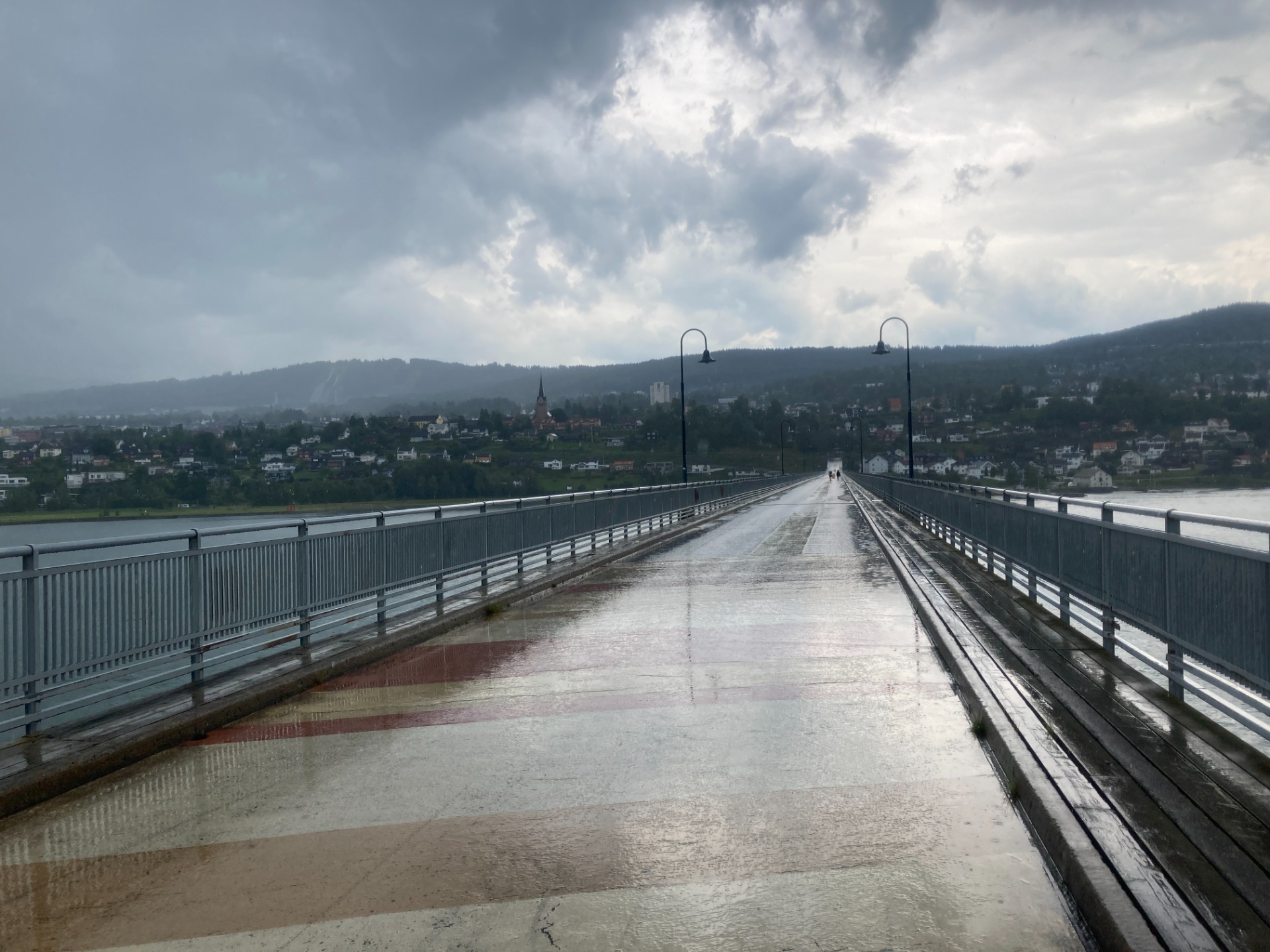
The heat was just as intense, but in the afternoon a solid rain shower rolled in. It actually felt wonderful to get wet, and it didn't last long enough for me to bother pulling out rain gear or a poncho.
It was a flat and fairly short day's march, and my body didn't mind it much at all.
I covered 21.7 kilometers that day.
